Loading...
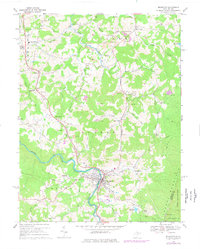
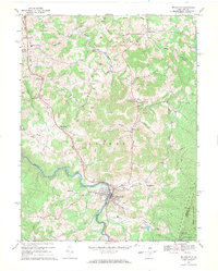
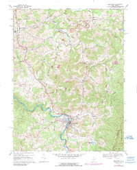
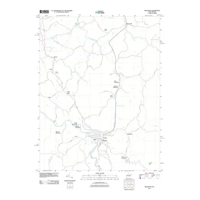
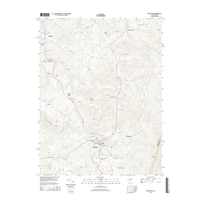
Loading map...1969 Map of Belington
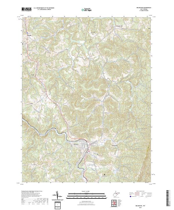
USGS Topo · Published 1977About this map
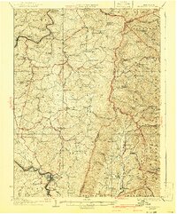
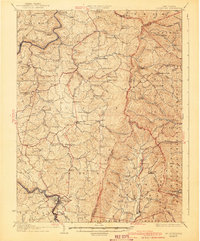
The Tygart Valley River flows through the heart of this Barbour County landscape, serving as a corridor for the Western Maryland and Baltimore and Ohio railroads. The town of Belington dominates the southern portion of the sheet, where residential blocks meet industrial activity along the riverbanks. To the north, the landscape is defined by the heavy footprint of resource extraction, with numerous Strip Mines following the contours of the hills between Sugar Creek and Sand Ridge.
Find a feature on this map
56 named features on this map. Tap any name to fly to it.
Don’t see what you’re looking for? This feature index may not catch every label — zoom into the map to look around manually.
Map Details
Date Portrayed1969
Date Published1977
PublisherU.S. Geological Survey
Map TypeTopographic
Scale1:24,000
Physical Dimensions22 x 27.4 inches
Editions of this 1969 Belington Map
3 editions found
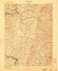
Historical Maps of Philippi Through Time
9 maps found

Featured Locations
Source Details
SourceU.S. Geological Survey
CopyrightPublic Domain