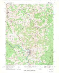
1969 Map of Belington
USGS Topo · Published 1971About this map
The Tygart Valley River carves a deep path through Barbour County, anchoring the town of Belington, where the Western Maryland railroad follows the water's edge. This late 1960s survey reveals a landscape heavily shaped by industrial extraction, with numerous strip mines dotting the ridges above Sugar Creek and Sand Run. The transition between the river valley and the steep slopes of Laurel Mountain is marked by small rural communities and family landmarks, including Lambert Chapel and Joseph Chapel. Local history is preserved in features like the Charcoal Ovens near Sand Ridge and Camp Barbour to the north. Further east, the terrain rises toward Meadowville, while recreational and utility footprints appear at Teter Creek Lake and the Mill Creek Reservoir, illustrating the varied land use of the era from timbering and mining to watershed management.
Find a feature on this map
55 named features on this map. Tap any name to fly to it.
Don’t see what you’re looking for? This feature index may not catch every label — zoom into the map to look around manually.
Map Details
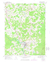
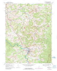
Editions of this 1969 Belington Map
3 editions found
Other maps of this area

1886 · St. George
USGS Topo · 1:125,000

1889 · Beverly
USGS Topo · 1:125,000

1891 · St. George
USGS Topo · 1:125,000

1892 · Beverly
USGS Topo · 1:125,000

1893 · Buckhannon
USGS Topo · 1:125,000

1896 · Buckhannon
USGS Topo · 1:125,000

1897 · Buckhannon
USGS Topo · 1:125,000

1904 · Philippi
USGS Topo · 1:62,500

1907 · Belington
USGS Topo · 1:62,500

1909 · Elkins
USGS Topo · 1:62,500