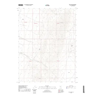
2018 Map of Bell Canyon
USGS Topo · Published 2018About this map
Fairview Peak dominates the high ground of the Churchill County interior, serving as the primary landmark for this desert basin-and-range landscape. The survey details the complex topography of the Fairview Range and the West Gate Range, where steep drainage systems like Bell Canyon descend toward the surrounding lowlands. The transition between these prominent massifs and the broad, level surfaces of Fairview Valley and Bell Flat highlights the stark contrasts of the Great Basin terrain. In the southern reaches of the map, Slate Mtn stands as a distinct topographic feature, overlooking the flats. This 2018 edition provides precise contouring of these landforms, offering a clear view of the natural corridors and peaks that have guided travelers through this part of Nevada for generations.
Find a feature on this map
12 named features on this map. Tap any name to fly to it.
Don’t see what you’re looking for? This feature index may not catch every label — zoom into the map to look around manually.
Map Details
Editions of this 2018 Bell Canyon Map
This is the sole edition of this map. No revisions or reprints were ever made.
Other maps of this area

1908 · Carson Sink
USGS Topo · 1:250,000

1910 · Carson Sink
USGS Topo · 1:250,000

1957 · Reno
USGS Topo · 1:250,000

1959 · Reno
USGS Topo · 1:250,000

1960 · Reno
USGS Topo · 1:250,000
1972 · Bell Mountain
USGS Topo · 1:24,000
1972 · Slate Mtn
USGS Topo · 1:24,000
1972 · Bell Canyon
USGS Topo · 1:24,000
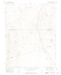
1972 · Broken Hills
USGS Topo · 1:24,000
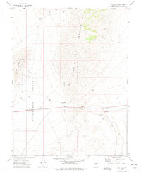
1972 · West Gate
USGS Topo · 1:24,000