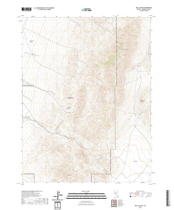
2021 Map of Bell Canyon
USGS Topo · Published 2021About this map
Fairview Peak dominates the skyline in this 2021 Churchill County topographic study, serving as a primary high point between the Fairview Range and the West Gate Range. The landscape transitions from the broad expanse of Fairview Valley in the northwest to the low-lying Bell Flat in the southeast. This basin-and-range topography is defined by significant elevation changes, with the eponymous Bell Canyon cutting through the western slopes. The southern portion of the map is anchored by Slate Mtn, a prominent landmark that influences the drainage patterns of the surrounding desert floor. This modern survey provides a clear view of the complex land divisions across multiple townships, including t16n r33e and t15n r34e, illustrating the precise surveying of the Nevada interior.
Find a feature on this map
12 named features on this map. Tap any name to fly to it.
Don’t see what you’re looking for? This feature index may not catch every label — zoom into the map to look around manually.
Map Details
Editions of this 2021 Bell Canyon Map
This is the sole edition of this map. No revisions or reprints were ever made.
Other maps of this area

1908 · Carson Sink
USGS Topo · 1:250,000

1910 · Carson Sink
USGS Topo · 1:250,000

1957 · Reno
USGS Topo · 1:250,000

1959 · Reno
USGS Topo · 1:250,000

1960 · Reno
USGS Topo · 1:250,000
1972 · Bell Mountain
USGS Topo · 1:24,000
1972 · Slate Mtn
USGS Topo · 1:24,000
1972 · Bell Canyon
USGS Topo · 1:24,000
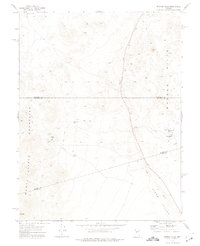
1972 · Broken Hills
USGS Topo · 1:24,000
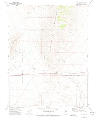
1972 · West Gate
USGS Topo · 1:24,000