
1973 Map of Bell Lake
USGS Topo · Published 1975About this map
The arid landscape of Lea County, New Mexico, is defined by the critical infrastructure of the energy and ranching sectors in the early 1970s. Resource extraction is prominent throughout the quadrangle, evidenced by numerous Gas Well and Oil Well sites, alongside various Gravel Pit and Drill Hole locations. This industrial activity exists alongside traditional cattle ranching operations centered at the Double X Ranch. Water management is the primary driver of development in this dry terrain, where a network of windmills and storage systems are essential for survival. Named features like the Bell Lake Windmill, Slick Windmills, and Pipeline Windmill show the reliance on groundwater, while Red Tank and Jog Tank provide necessary storage. A prominent Pipeline and Jeep Trail cut across the landscape, connecting these remote outposts and utility stations like the Substation and Radio Tower.
Find a feature on this map
21 named features on this map. Tap any name to fly to it.
Don’t see what you’re looking for? This feature index may not catch every label — zoom into the map to look around manually.
Map Details
Editions of this 1973 Bell Lake Map
This is the sole edition of this map. No revisions or reprints were ever made.
Other maps of this area

1954 · Hobbs
USGS Topo · 1:250,000

1958 · Hobbs
USGS Topo · 1:250,000

1963 · Oil Center
USGS Topo · 1:62,500

1963 · Hat Mesa
USGS Topo · 1:62,500

1973 · Paduca Breaks NW
USGS Topo · 1:24,000

1973 · Paduca Breaks East
USGS Topo · 1:24,000
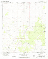
1973 · Paduca Breaks West
USGS Topo · 1:24,000
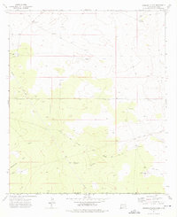
1973 · Andrews Place
USGS Topo · 1:24,000
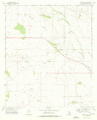
1973 · Woodley Flat
USGS Topo · 1:24,000

1978 · Jal
USGS Topo · 1:100,000