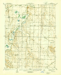
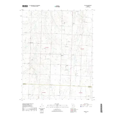
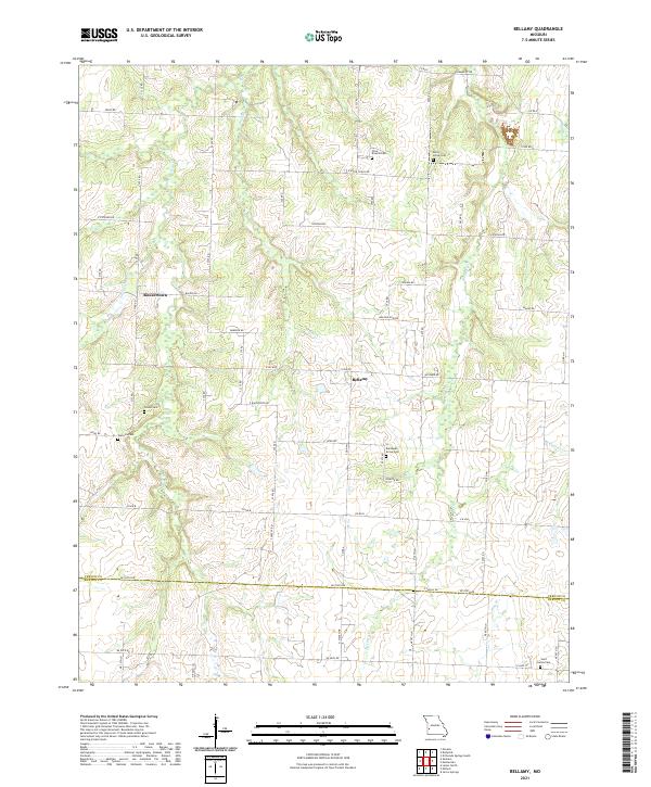
1962 Map of Bellamy
USGS Topo · Published 1983About this map
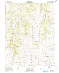
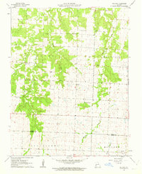
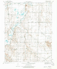
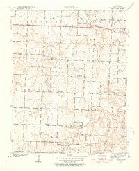
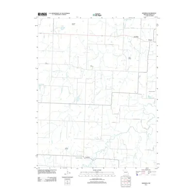
Bellamy and the small settlement of Rousertown sit at the center of this rural landscape during the early 1960s, a region defined by its creek valleys and agricultural plateaus. The terrain is deeply carved by watercourses like Clear Creek, Walnut Creek, and McCarty Creek, which separate the township districts of Dover and Montevallo. This era shows a community anchored by several rural burial grounds and places of worship, including Dunnegan Grove Ch and the St James Ch near the southern border.
Find a feature on this map
20 named features on this map. Tap any name to fly to it.
Don’t see what you’re looking for? This feature index may not catch every label — zoom into the map to look around manually.
Map Details
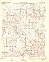
Editions of this 1962 Bellamy Map
2 editions found
Historical Maps of Bellamy Through Time
19 maps found
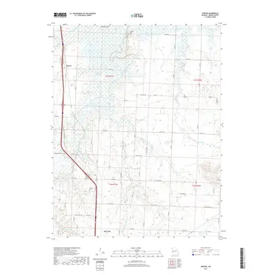
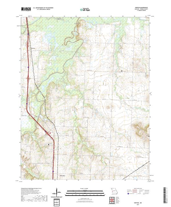
1938 Horton
Vernon County, MO
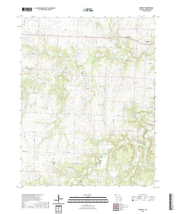
1939 Dederick
Vernon County, MO
1939 Horton
Vernon County, MO
1942 Dederick
Vernon County, MO
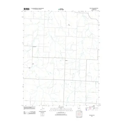
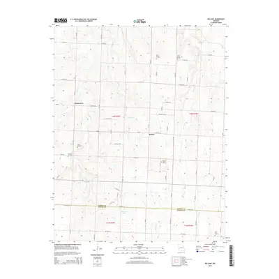
1962 Bellamy
Vernon County, MO
1991 Dederick
Vernon County, MO
1991 Horton
Vernon County, MO
2011 Bellamy
Vernon County, MO
2011 Dederick
Vernon County, MO
2011 Horton
Vernon County, MO
2015 Bellamy
Vernon County, MO
2015 Dederick
Vernon County, MO
2015 Horton
Vernon County, MO
2017 Bellamy
Vernon County, MO
2017 Dederick
Vernon County, MO
2017 Horton
Vernon County, MO
2021 Bellamy
Vernon County, MO
2021 Dederick
Vernon County, MO
2021 Horton
Vernon County, MO