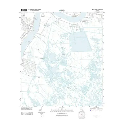
2012 Map of Belle Chasse
USGS Topo · Published 2012About this map
The Mississippi River carves a sharp oxbow at Twelvemile Point, defining the landscape of Plaquemines Parish in the early 21st century. This river-dominated geography is reinforced by a series of critical engineering features, including the English Turn Revetment and Scarsdale Revetment, which protect the low-lying settlements of Saint Clair and Scarsdale. Transportation across this watery divide relies on the Belle Chasse Ferry, linking the town of Belle Chasse to the eastern bank.
Find a feature on this map
44 named features on this map. Tap any name to fly to it.
Don’t see what you’re looking for? This feature index may not catch every label — zoom into the map to look around manually.
Map Details
Editions of this 2012 Belle Chasse Map
This is the sole edition of this map. No revisions or reprints were ever made.
Other maps of this area

1891 · Pointe a La Hache
USGS Topo · 1:62,500

1891 · New Orleans
USGS Topo · 1:62,500

1892 · Barataria
USGS Topo · 1:62,500

1892 · St. Bernard
USGS Topo · 1:62,500

1892 · Pointe a La Hache
USGS Topo · 1:62,500

1932 · New Orleans NE
USGS Topo · 1:31,680

1932 · New Orleans SE
USGS Topo · 1:31,680

1935 · Delacroix
USGS Topo · 1:31,680

1935 · Lake Batola
USGS Topo · 1:31,680
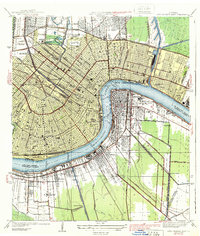
1939 · New Orleans East
USGS Topo · 1:31,680