Loading...
Loading map...2024 Map of Belle Chasse
USGS Topo · Published 2024About this map
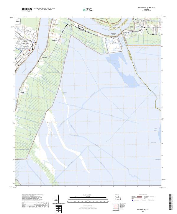
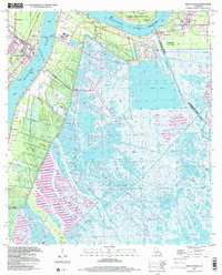
The Mississippi River carves a dramatic oxbow through the heart of Plaquemines Parish, shaping a landscape defined by its precarious relationship with water and industry. At the river's bend, the expansive Naval Air Station Joint Reserve Base New Orleans occupies a massive footprint south of Belle Chasse, while the Belle Chasse Ferry provides a vital link across the current to Scarsdale.
Find a feature on this map
80 named features on this map. Tap any name to fly to it.
Don’t see what you’re looking for? This feature index may not catch every label — zoom into the map to look around manually.
Map Details
Date Portrayed2024
Date Published2024
PublisherU.S. Geological Survey
Map TypeTopographic
Scale1:24000
Physical Dimensions24 x 29 inches
Editions of this 2024 Belle Chasse Map
This is the sole edition of this map. No revisions or reprints were ever made.
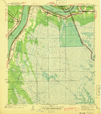
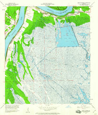
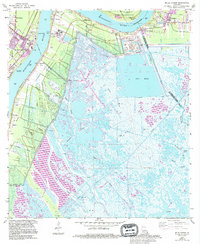
Historical Maps of Caernarvon Through Time
5 maps found
Featured Locations
Source Details
SourceU.S. Geological Survey
CopyrightPublic Domain