Loading...
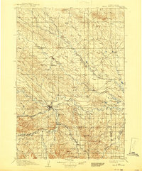
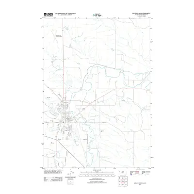
Loading map...1907 Map of Belle Fourche
USGS Topo · Published 1941About this map
Belle Fourche serves as the focal point of this northern Great Plains landscape at the start of the 20th century. The confluence of the Belle Fourche River and Redwater Creek drives the local geography, supporting early irrigation efforts evidenced by the Redwater Ditch. To the south, the settlement of Minnesela appears just before it was largely eclipsed by the railroad growth of its neighbor.
Find a feature on this map
45 named features on this map. Tap any name to fly to it.
Don’t see what you’re looking for? This feature index may not catch every label — zoom into the map to look around manually.
Map Details
Date Portrayed1907
Date Published1941
PublisherU.S. Geological Survey
Map TypeTopographic
Scale1:125,000
Physical Dimensions16.5 x 19.9 inches
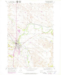
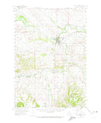
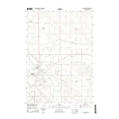
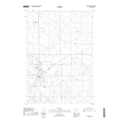
Editions of this 1907 Belle Fourche Map
2 editions found

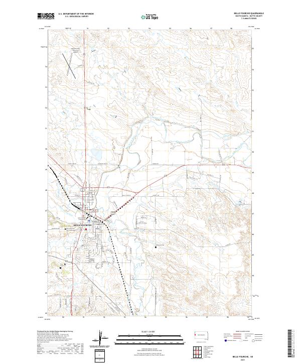
Historical Maps of Spearfish Through Time
8 maps found
Featured Locations
Source Details
SourceU.S. Geological Survey
CopyrightPublic Domain