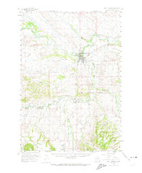
1958 Map of Belle Fourche
USGS Topo · Published 1974About this map
Belle Fourche serves as the focal point of this mid-century landscape, situated at the confluence of the Belle Fourche River and Redwater River. The town's significance as a regional hub is evidenced by the presence of the Belle Landing Field and the Chicago and North Western railroad lines branching across the territory. The rural surroundings are dotted with localized educational sites like Middle Creek Sch and Sunnyside Sch, reflecting a distributed agricultural population.
Find a feature on this map
34 named features on this map. Tap any name to fly to it.
Don’t see what you’re looking for? This feature index may not catch every label — zoom into the map to look around manually.
Map Details
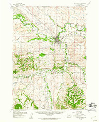
Editions of this 1958 Belle Fourche Map
2 editions found
Other maps of this area

1894 · Deadwood
USGS Topo · 1:125,000

1898 · Sundance
USGS Topo · 1:125,000

1899 · Sturgis
USGS Topo · 1:62,500

1900 · Spearfish
USGS Topo · 1:62,500

1901 · Deadwood
USGS Topo · 1:125,000

1901 · Aladdin
USGS Topo · 1:125,000

1902 · Sundance
USGS Topo · 1:125,000

1903 · Aladdin
USGS Topo · 1:125,000

1905 · Saint Onge
USGS Topo · 1:62,500

1905 · Indian
USGS Topo · 1:62,500