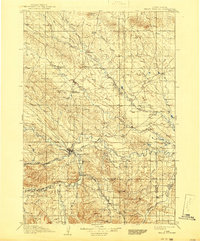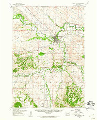
1958 Map of Belle Fourche
USGS Topo · Published 1960About this map
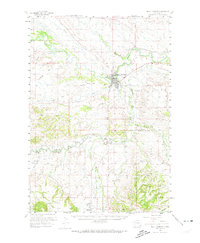
The confluence of the Belle Fourche River and Red Water River anchor this 1950s landscape, where irrigation and industry meet the northern Black Hills. The city of Belle Fourche serves as the regional hub, evidenced by its Rodeo Ground, Landing Field, and the extensive infrastructure of the Chicago and North Western railroad. The map reveals a complex hydraulic system necessary for the region's development, including the Inlet Canal, Water Canal, and Concordia Ditch. Beyond the urban center, the countryside is dotted with rural institutions like Middle Creek Sch and Sunnyside Sch, while the Minnesota Cem sits east of the river. Industrial footprints are visible through various Clay Pits and the Redwater Powerplant, reflecting the mid-century economy of Butte and Lawrence counties.
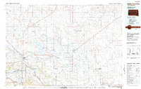
Find a feature on this map
44 named features on this map. Tap any name to fly to it.
Don’t see what you’re looking for? This feature index may not catch every label — zoom into the map to look around manually.
Map Details
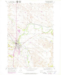
Editions of this 1958 Belle Fourche Map
2 editions found
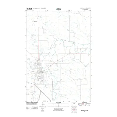
Historical Maps of Spearfish Through Time
8 maps found