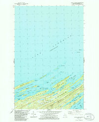
1985 Map of Belle Harbor
USGS Topo · Published 1986About this map
Isle Royale National Park emerges as a complex archipelago of elongated islands and deep harbors in this mid-1980s survey. The landscape is defined by the massive Greenstone Ridge which forms the island's high backbone, leading to prominent landmarks like Mount Franklin. The northeast end of the island is fractured into a series of narrow peninsulas and protected water bodies, including Five Finger Bay and Duncan Bay, creating a sheltered maritime environment.
Find a feature on this map
57 named features on this map. Tap any name to fly to it.
Don’t see what you’re looking for? This feature index may not catch every label — zoom into the map to look around manually.
Map Details
Editions of this 1985 Belle Harbor Map
This is the sole edition of this map. No revisions or reprints were ever made.
Other maps of this area

1895 · Passage Island
USGS Topo · 1:62,500

1959 · Fort William
USGS Topo · 1:250,000

1968 · Fort William
USGS Topo · 1:250,000

1985 · Todd Harbor
USGS Topo · 1:100,000
1985 · McCargoe Cove
USGS Topo · 1:24,000
1985 · Rock Harbor Lodge
USGS Topo · 1:24,000
1985 · Mott Island
USGS Topo · 1:24,000
2011 · Lake Richie
USGS Topo · 1:24,000
2011 · Belle Harbor
USGS Topo · 1:24,000
2011 · Rock Harbor Lodge
USGS Topo · 1:24,000