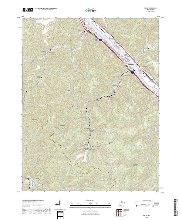
2023 Map of Belle
USGS Topo · Published 2023About this map
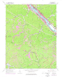
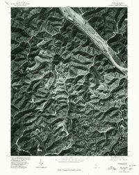
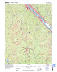
The Kanawha River serves as the central artery for this region of West Virginia, where industrial and residential clusters follow the water and rail corridors. Major settlements like Marmet, Belle, and Chesapeake line the riverbanks, anchored by landmarks such as Scotts Island and the adjacent Island Airport. The landscape transitions abruptly from the river valley into a complex network of hollows and ridges, including Bradford Hollow and Wolfpen Hollow, where smaller communities and family sites are tucked away from the main thoroughfares.
Find a feature on this map
116 named features on this map. Tap any name to fly to it.
Don’t see what you’re looking for? This feature index may not catch every label — zoom into the map to look around manually.
Map Details
Editions of this 2023 Belle Map
This is the sole edition of this map. No revisions or reprints were ever made.
Historical Maps of Comfort Through Time
4 maps found