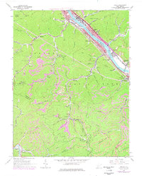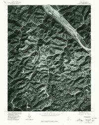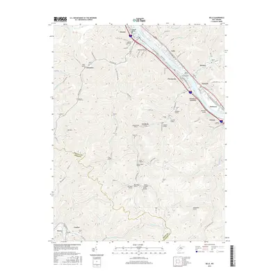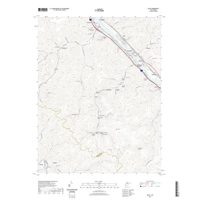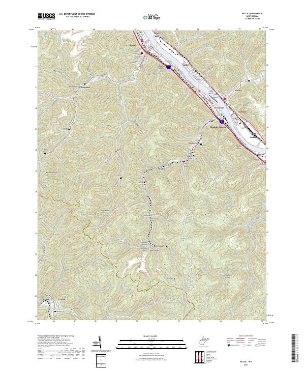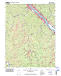
1996 Map of Belle
USGS Topo · Published 2000About this map
Kanawha River serves as the industrial and transportation spine for this region, flanked by the river-valley settlements of Marmet, Chesapeake, and Belle. The landscape is defined by the sharp contrast between the dense development along the water and the narrow, winding hollows like Old West Hollow and Sweethome Hollow that reach back into the surrounding ridges. Industry is heavily represented by extensive strip mines and numerous tipple sites, particularly around Winifrede and the Cabin Creek district.
Find a feature on this map
70 named features on this map. Tap any name to fly to it.
Don’t see what you’re looking for? This feature index may not catch every label — zoom into the map to look around manually.
Map Details
Editions of this 1996 Belle Map
This is the sole edition of this map. No revisions or reprints were ever made.
Historical Maps of Marmet Through Time
8 maps found