Loading...
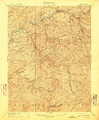
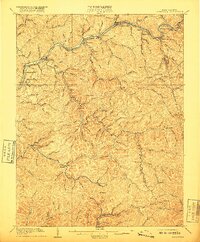
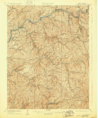
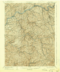
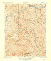
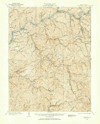
Loading map...1909 Map of Clendenin
USGS Topo · Published 1909About this map
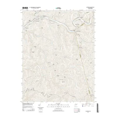
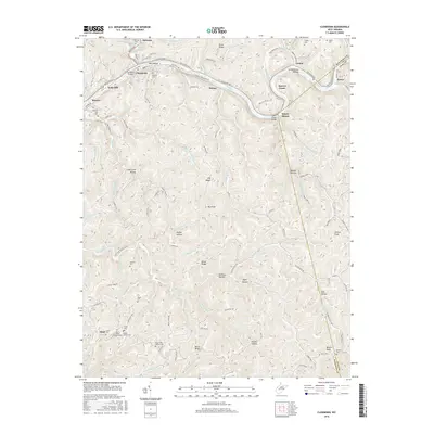
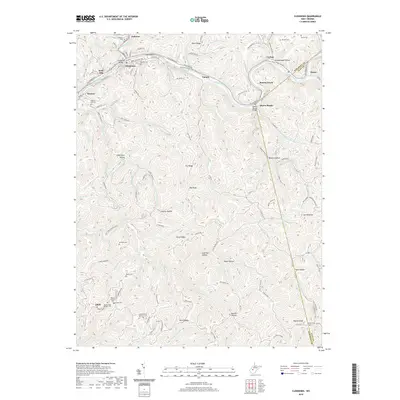
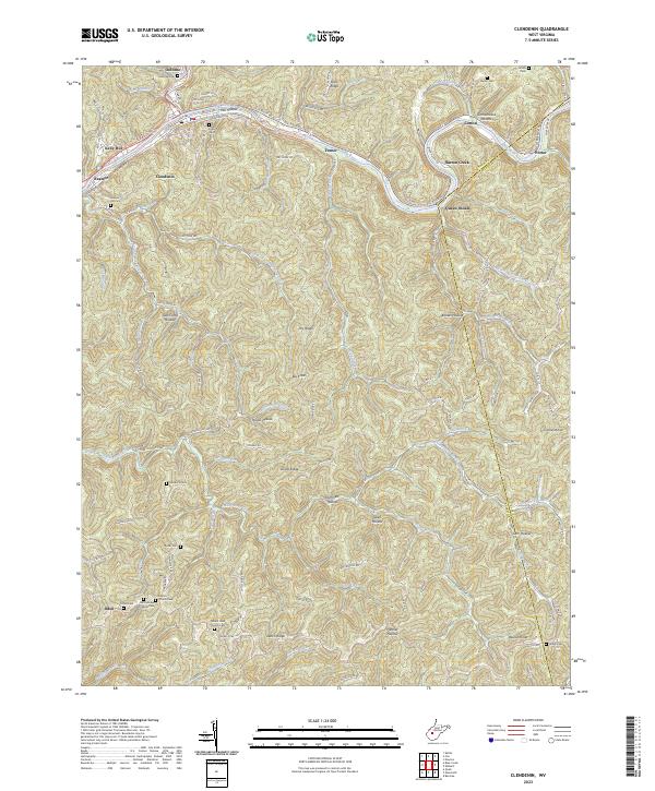
The Elk River carves a winding path through the heart of Kanawha County in this 1907 survey, defining the industrial and social life of the region during the early twentieth century. Along its banks, the Coal and Coke River railroad facilitates the movement of resources, connecting settlements like Clendenin, Falling Rock, and Queen Shoals. The interior landscape is a dense network of steep ridges and narrow hollows, where family-named landmarks such as Jarretts Ford and Hickory Knob suggest deep roots in the mountain terrain.
Find a feature on this map
116 named features on this map. Tap any name to fly to it.
Don’t see what you’re looking for? This feature index may not catch every label — zoom into the map to look around manually.
Map Details
Date Portrayed1909
Date Published1909
PublisherU.S. Geological Survey
Map TypeTopographic
Scale1:62,500
Physical Dimensions16.47 x 19.88 inches
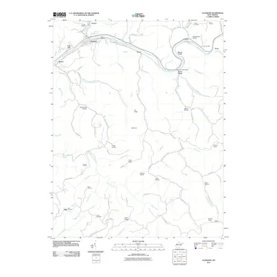
Editions of this 1909 Clendenin Map
5 editions found
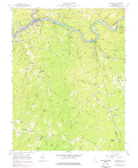
Historical Maps of Clendenin Through Time
8 maps found
Featured Locations
Source Details
SourceU.S. Geological Survey
CopyrightPublic Domain