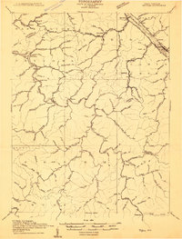
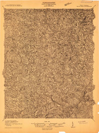
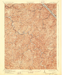
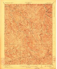
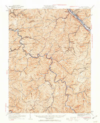
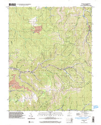
1909 Map of Peytona
USGS Topo · Published 1909About this map
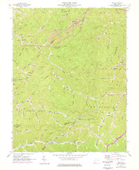
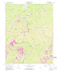
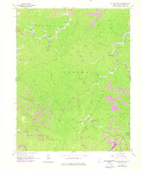
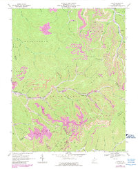
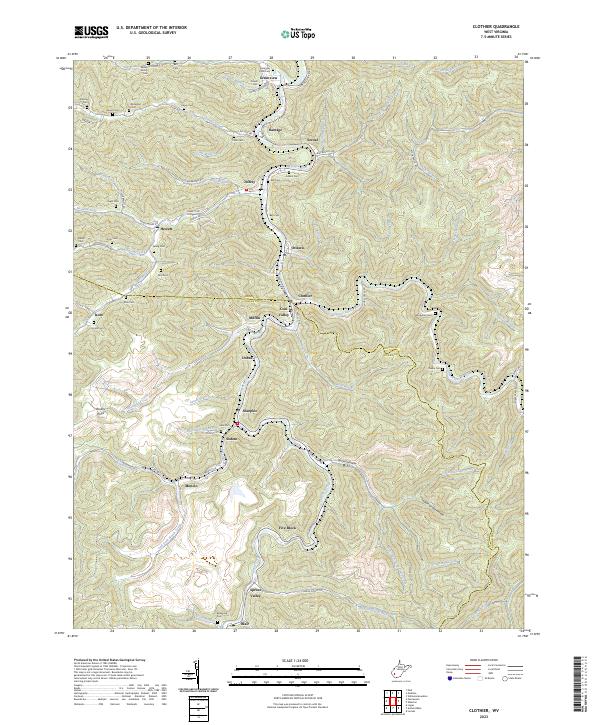
The Coal River and its tributaries dictate the development of this central West Virginia region, surveyed shortly after the turn of the century. Settlements like Peytona and Whitesville are connected by the Coal River Road, illustrating the importance of river-bottom travel in an area of steep ridges and deep forks. Along the northern edge, the industrial corridor of the Kanawha River is evident near Marmet and Belle, where the Chesapeake and Ohio Railroad and the Kanawha and Michigan Ohio and River Railroad parallel the water.
Find a feature on this map
125 named features on this map. Tap any name to fly to it.
Don’t see what you’re looking for? This feature index may not catch every label — zoom into the map to look around manually.
Map Details
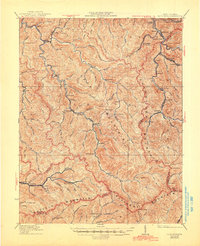
Editions of this 1909 Peytona Map
This is the sole edition of this map. No revisions or reprints were ever made.
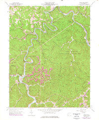
Historical Maps of Marmet Through Time
27 maps found
1909 Peytona
Boone County, WV
1910 Bald Knob
Boone County, WV
1911 Peytona
Boone County, WV
1912 Bald Knob
Boone County, WV

1928 Bald Knob
Boone County, WV
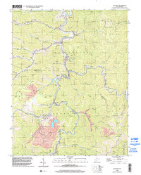
1929 Peytona
Boone County, WV
1931 Bald Knob
Boone County, WV
1931 Peytona
Boone County, WV
1962 Julian
Boone County, WV
1962 Mud
Boone County, WV
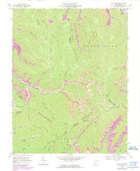
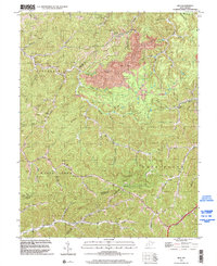
1963 Clothier
Boone County, WV
1965 Williams Mountain
Boone County, WV
1968 Lorado
Boone County, WV
1968 Pilot Knob
Boone County, WV
1968 Wharton
Boone County, WV
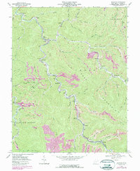
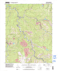
1996 Clothier
Boone County, WV
1996 Lorado
Boone County, WV
1996 Mud
Boone County, WV
1996 Wharton
Boone County, WV
1996 Williams Mountain
Boone County, WV
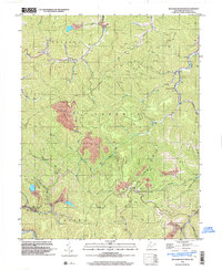
2023 Clothier
Boone County, WV
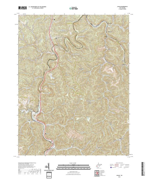
2023 Julian
Boone County, WV
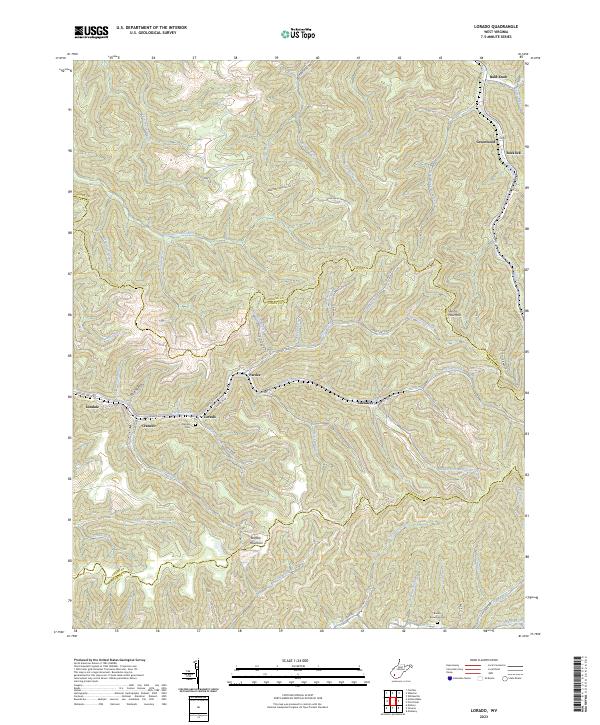
2023 Lorado
Boone County, WV
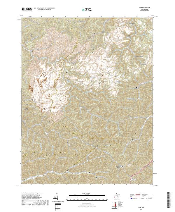
2023 Mud
Boone County, WV
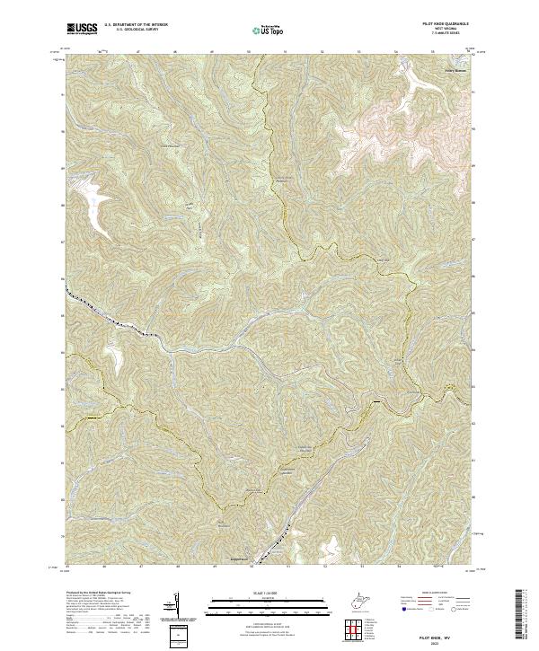
2023 Pilot Knob
Boone County, WV
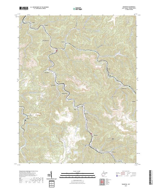
2023 Wharton
Boone County, WV
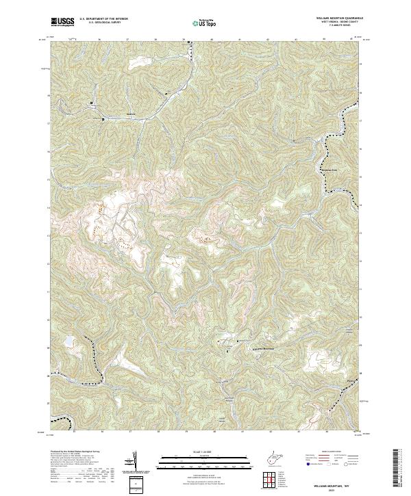
2023 Williams Mountain
Boone County, WV