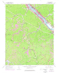
1965 Map of Belle
USGS Topo · Published 1978About this map
The Kanawha River serves as the industrial spine of this region, where the Chesapeake and Ohio and Conrail lines parallel the water to support towns like Belle, Marmet, and Chesapeake. The landscape is defined by the intense concentration of extractive industry throughout the Cabin Creek and Loudon districts, marked by numerous strip mines, tipples, and mines tucked into narrow valleys like Wolfpen Hollow and Fields Creek.
Find a feature on this map
84 named features on this map. Tap any name to fly to it.
Don’t see what you’re looking for? This feature index may not catch every label — zoom into the map to look around manually.
Map Details
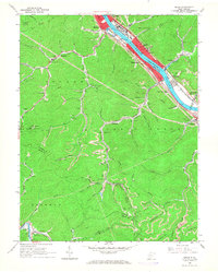
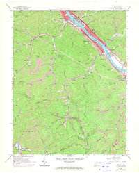
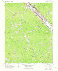
Editions of this 1965 Belle Map
4 editions found
Other maps of this area

1897 · Kanawha Falls
USGS Topo · 1:125,000

1899 · Charleston
USGS Topo · 1:125,000

1900 · Kanawha Falls
USGS Topo · 1:125,000

1901 · Kanawha Falls
USGS Topo · 1:125,000

1907 · Clendenin
USGS Topo · 1:62,500

1908 · Montgomery
USGS Topo · 1:48,000

1909 · Charleston
USGS Topo · 1:62,500

1909 · Clendenin
USGS Topo · 1:62,500

1909 · Peytona
USGS Topo · 1:48,000

1910 · Montgomery
USGS Topo · 1:62,500