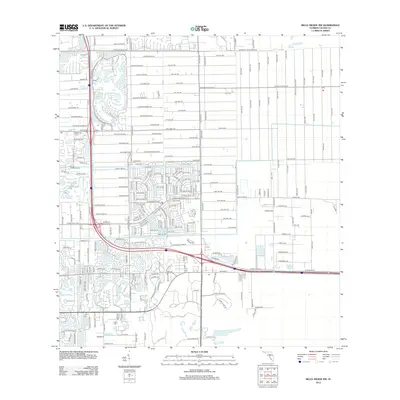
2012 Map of Belle Meade NW
USGS Topo · Published 2012About this map
Residential expansion and structured street grids dominate this 2012 survey of Livingston Woods Ln and the surrounding suburban developments of Collier County. The map documents the intricate network of cul-de-sacs and throughways that defined the area's growth during the early 21st century, centered around major transit corridors like Vanderbilt Beach Rd and Golden Gate Pkwy. The landscape is characterized by a mix of planned communities with descriptive names such as Sable Ridge Ln and English Oaks Ln, alongside older, more linear wood-named streets like Cherry Wood Dr and Hickory Wood Dr. This cartographic record provides a precise inventory of local infrastructure before further intensification of the coastal interior, offering valuable data for those studying the evolution of Florida's suburban planning and contemporary property boundaries.
Find a feature on this map
232 named features on this map. Tap any name to fly to it.
Don’t see what you’re looking for? This feature index may not catch every label — zoom into the map to look around manually.
Map Details
Editions of this 2012 Belle Meade NW Map
This is the sole edition of this map. No revisions or reprints were ever made.
Other maps of this area

1956 · West Palm Beach
USGS Topo · 1:250,000

1957 · West Palm Beach
USGS Topo · 1:250,000

1958 · West Palm Beach
USGS Topo · 1:250,000

1958 · Corkscrew SE
USGS Topo · 1:24,000

1958 · Bonita Springs
USGS Topo · 1:24,000

1958 · Belle Meade
USGS Topo · 1:24,000

1958 · Naples South
USGS Topo · 1:24,000

1958 · Belle Meade NE
USGS Topo · 1:24,000

1958 · Belle Meade NW
USGS Topo · 1:24,000

1958 · Corkscrew SW
USGS Topo · 1:24,000