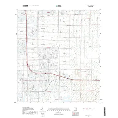
2021 Map of Belle Meade NW
USGS Topo · Published 2021About this map
Golden Gate and Vineyards dominate the landscape of this Collier County survey, reflecting the intensive residential development patterns of Southwest Florida. The map illustrates a dense network of suburban corridors, where major thoroughfares like Coronado Pkwy and White Blvd connect sprawling communities. In the northern reaches, the Palm Royale Cem and Saint Agnes Catholic Church Columbarium Cem serve as significant local landmarks amidst the residential blocks.
Find a feature on this map
27 named features on this map. Tap any name to fly to it.
Don’t see what you’re looking for? This feature index may not catch every label — zoom into the map to look around manually.
Map Details
Editions of this 2021 Belle Meade NW Map
This is the sole edition of this map. No revisions or reprints were ever made.
Other maps of this area

1956 · West Palm Beach
USGS Topo · 1:250,000

1957 · West Palm Beach
USGS Topo · 1:250,000

1958 · West Palm Beach
USGS Topo · 1:250,000

1958 · Corkscrew SE
USGS Topo · 1:24,000

1958 · Bonita Springs
USGS Topo · 1:24,000

1958 · Belle Meade
USGS Topo · 1:24,000

1958 · Naples South
USGS Topo · 1:24,000

1958 · Belle Meade NE
USGS Topo · 1:24,000

1958 · Belle Meade NW
USGS Topo · 1:24,000

1958 · Corkscrew SW
USGS Topo · 1:24,000