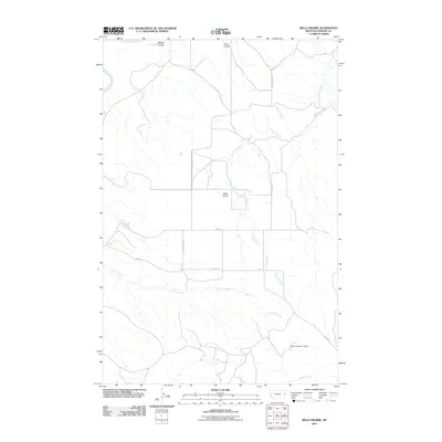
2011 Map of Belle Prairie
USGS Topo · Published 2011About this map
Belle Prairie occupies the central portion of this Montana landscape, where the drainage patterns of Dawson County define the settlement's character. The northwestern corner is clipped by the winding Yellowstone River, which receives seasonal runoff from local coulees including Wards Coulee and Coal Coulee. This area is heavily influenced by its water-carved topography, with the dendritic network of Serrine Creek and Shryne Creek branching across the eastern plains. These watercourses were vital to the early agricultural development of the region, providing the necessary drainage and occasional water sources for the cattle and grain operations that sustain this part of the state. Infrastructure is sparse, marked primarily by rural routes such as Belle Prairie Rd and specialized agricultural features like the Arthur Number 1 Dam, which manages local runoff in the southern reaches near Griffith Creek.
Find a feature on this map
15 named features on this map. Tap any name to fly to it.
Don’t see what you’re looking for? This feature index may not catch every label — zoom into the map to look around manually.
Map Details
Editions of this 2011 Belle Prairie Map
This is the sole edition of this map. No revisions or reprints were ever made.
Other maps of this area

1909 · Glendive
USGS Topo · 1:250,000

1954 · Glendive
USGS Topo · 1:250,000

1957 · Glendive
USGS Topo · 1:250,000

1958 · Glendive
USGS Topo · 1:250,000

1966 · Kolberg Ranch
USGS Topo · 1:24,000

1966 · Savage SW
USGS Topo · 1:24,000

1966 · Intake
USGS Topo · 1:24,000

1967 · Stipek
USGS Topo · 1:24,000

1967 · Allard
USGS Topo · 1:24,000

1967 · Belle Prairie
USGS Topo · 1:24,000