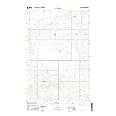
2017 Map of Belle Prairie
USGS Topo · Published 2017About this map
Belle Prairie sits at the heart of this Dawson County landscape, characterized by an intricate network of drainage coulees and creeks that define the regional geography. The terrain is marked by significant landmarks such as Bryants Buttes in the southwest, providing a distinct topographical orientation for the surrounding prairie. A series of watercourses including Serrine Cr, Cotton Cr, and Elm Coulee dissect the land, illustrating the natural water management patterns of the Montana plains. The map details a rural infrastructure of designated roads like RD 320 and RD 315 that follow the section lines of the Public Land Survey System, connecting the isolated homesteads and ranch lands typical of this era. This 2017 survey serves as a precise record of the land divisions and named natural features that have shaped the local identity of this high plains community.
Find a feature on this map
18 named features on this map. Tap any name to fly to it.
Don’t see what you’re looking for? This feature index may not catch every label — zoom into the map to look around manually.
Map Details
Editions of this 2017 Belle Prairie Map
This is the sole edition of this map. No revisions or reprints were ever made.
Other maps of this area

1909 · Glendive
USGS Topo · 1:250,000

1954 · Glendive
USGS Topo · 1:250,000

1957 · Glendive
USGS Topo · 1:250,000

1958 · Glendive
USGS Topo · 1:250,000

1966 · Kolberg Ranch
USGS Topo · 1:24,000

1966 · Savage SW
USGS Topo · 1:24,000

1966 · Intake
USGS Topo · 1:24,000

1967 · Stipek
USGS Topo · 1:24,000

1967 · Allard
USGS Topo · 1:24,000

1967 · Belle Prairie
USGS Topo · 1:24,000