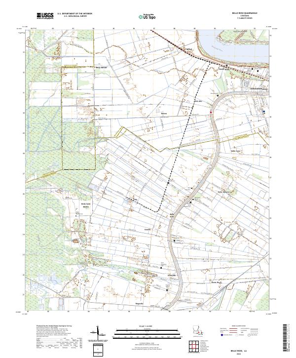
2024 Map of Belle Rose
USGS Topo · Published 2024About this map
The Mississippi River winds past Eightyone Mile Point and the riverfront communities of McCall and Smoke Bend, defining a landscape deeply shaped by alluvial geography. Just south, the historic city of Donaldsonville sits at the fork where Bayou Lafourche begins its long journey away from the main river. The area is characterized by long, narrow land tracts typical of the French long-lot system, extending back from the bayou and river toward the low-lying wetlands of Bayou Sigur and Bayou Crouix. Numerous small settlements such as Belle Alliance, Belle Rose, and Klotzville line the banks of Bayou Lafourche, each anchored by significant community landmarks. A high density of rural cemeteries, including Saint Francis of Assisi Catholic Cem and First Israel Baptist Church Cem, provides a detailed record of the family names and faith communities that have inhabited this sugar-producing region for generations.
Find a feature on this map
118 named features on this map. Tap any name to fly to it.
Don’t see what you’re looking for? This feature index may not catch every label — zoom into the map to look around manually.
Map Details
Editions of this 2024 Belle Rose Map
This is the sole edition of this map. No revisions or reprints were ever made.
Other maps of this area

1892 · Donaldsonville
USGS Topo · 1:62,500

1892 · Thibodaux
USGS Topo · 1:62,500

1927 · Thibodaux NW
USGS Topo · 1:31,680

1935 · Gonzales
USGS Topo · 1:31,680

1936 · White Castle
USGS Topo · 1:62,500

1939 · Donaldsonville
USGS Topo · 1:62,500

1940 · Madewood
USGS Topo · 1:31,680

1945 · New Orleans
USGS Topo · 1:250,000

1947 · Donaldsonville
USGS Topo · 1:31,680

1953 · Napoleonville
USGS Topo · 1:62,500