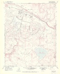
1963 Map of Bellemont
USGS Topo · Published 1973About this map
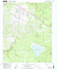
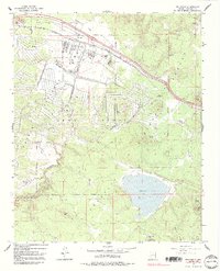
The Navajo Army Depot Military Reservation dominates this mid-century landscape in the high country of northern Arizona. Situated along the corridor of the Atchison Topeka and Santa Fe Railroad, the installation is shown with its extensive network of spurs and bunkers west of Bellemont. The topography is a mix of volcanic terrain and open basins, notably Rogers Lake to the south and the deep incision of Volunteer Canyon to the west.
Find a feature on this map
42 named features on this map. Tap any name to fly to it.
Don’t see what you’re looking for? This feature index may not catch every label — zoom into the map to look around manually.
Map Details
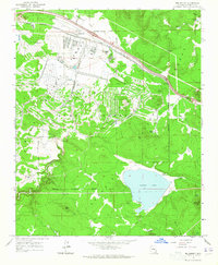
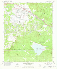
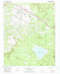
Editions of this 1963 Bellemont Map
6 editions found
Other maps of this area

1886 · San Francisco Mtns
USGS Topo · 1:250,000

1891 · San Francisco Mtns
USGS Topo · 1:250,000

1894 · San Francisco Mtns
USGS Topo · 1:250,000

1899 · San Francisco Mtns
USGS Topo · 1:250,000

1908 · Flagstaff
USGS Topo · 1:125,000

1912 · Flagstaff
USGS Topo · 1:125,000

1947 · Flagstaff
USGS Topo · 1:250,000

1954 · Flagstaff
USGS Topo · 1:250,000

1958 · Flagstaff
USGS Topo · 1:250,000

1960 · Flagstaff
USGS Topo · 1:250,000