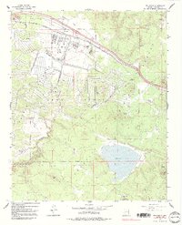
1963 Map of Bellemont
USGS Topo · Published 1991About this map
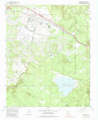
The Navajo Army Depot dominates this portion of the Kaibab National Forest, illustrating a mid-century military presence integrated into the northern Arizona landscape. The depot’s infrastructure is clearly delineated, featuring a Hospital, a prominent Stack, and an extensive network of the U.S. Government Railroad that served the facility. The settlement of Bellemont sits along the northern edge, serving as a transit point near the Military Reservation Boundary.
Find a feature on this map
40 named features on this map. Tap any name to fly to it.
Don’t see what you’re looking for? This feature index may not catch every label — zoom into the map to look around manually.
Map Details
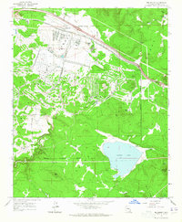
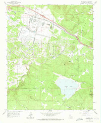
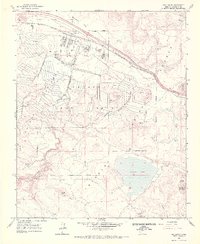
Editions of this 1963 Bellemont Map
6 editions found
Other maps of this area

1886 · San Francisco Mtns
USGS Topo · 1:250,000

1891 · San Francisco Mtns
USGS Topo · 1:250,000

1894 · San Francisco Mtns
USGS Topo · 1:250,000

1899 · San Francisco Mtns
USGS Topo · 1:250,000

1908 · Flagstaff
USGS Topo · 1:125,000

1912 · Flagstaff
USGS Topo · 1:125,000

1947 · Flagstaff
USGS Topo · 1:250,000

1954 · Flagstaff
USGS Topo · 1:250,000

1958 · Flagstaff
USGS Topo · 1:250,000

1960 · Flagstaff
USGS Topo · 1:250,000