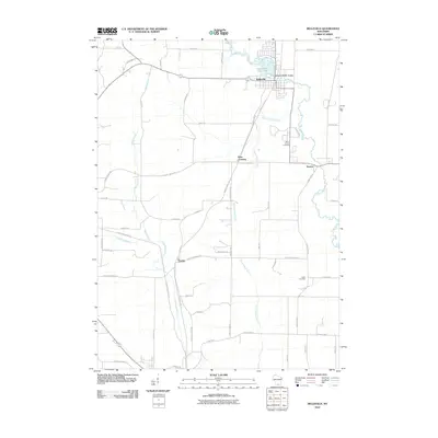
2010 Map of Belleville
USGS Topo · Published 2010About this map
Belleville serves as the primary hub of this 2010 landscape, where the Sugar River is managed by the Belleville WP90-18 Dam to form Lake-Belle View 178. The village grid and surrounding township reflect a modern rural structure, yet the presence of the Badger State Trl following an old corridor suggests the evolving use of former transport lines. To the south, the terrain is defined by the confluence of several waterways, including the Little Sugar River and the Silver School Branch, which flow through a network of family-named roads and agricultural plots.
Find a feature on this map
50 named features on this map. Tap any name to fly to it.
Don’t see what you’re looking for? This feature index may not catch every label — zoom into the map to look around manually.
Map Details
Editions of this 2010 Belleville Map
This is the sole edition of this map. No revisions or reprints were ever made.
Other maps of this area

1889 · Evansville
USGS Topo · 1:62,500

1893 · Brodhead
USGS Topo · 1:62,500

1894 · Evansville
USGS Topo · 1:62,500

1906 · Evansville
USGS Topo · 1:62,500

1920 · Monroe
USGS Topo · 1:62,500

1922 · Monroe
USGS Topo · 1:62,500

1923 · New Glarus
USGS Topo · 1:62,500

1954 · Rockford
USGS Topo · 1:250,000

1955 · Rockford
USGS Topo · 1:250,000

1958 · Rockford
USGS Topo · 1:250,000