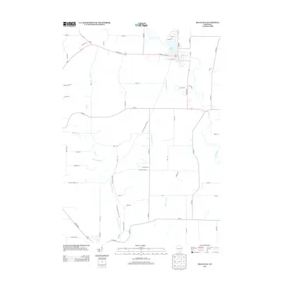
2013 Map of Belleville
USGS Topo · Published 2013About this map
The Sugar River flows through the heart of this landscape, anchoring the village of Belleville as it appeared in the early 21st century. This survey documents a critical junction of modern transportation and natural conservation, featuring the Ice Age National Scenic Trail as it traverses the rural countryside south of the village. The drainage patterns of the region are clearly defined by several water bodies, including Lake Belle View, which borders the northern residential streets, and the winding courses of the Little Sugar River and Ross Crossing Cr.
Find a feature on this map
60 named features on this map. Tap any name to fly to it.
Don’t see what you’re looking for? This feature index may not catch every label — zoom into the map to look around manually.
Map Details
Editions of this 2013 Belleville Map
This is the sole edition of this map. No revisions or reprints were ever made.
Other maps of this area

1889 · Evansville
USGS Topo · 1:62,500

1893 · Brodhead
USGS Topo · 1:62,500

1894 · Evansville
USGS Topo · 1:62,500

1906 · Evansville
USGS Topo · 1:62,500

1920 · Monroe
USGS Topo · 1:62,500

1922 · Monroe
USGS Topo · 1:62,500

1923 · New Glarus
USGS Topo · 1:62,500

1954 · Rockford
USGS Topo · 1:250,000

1955 · Rockford
USGS Topo · 1:250,000

1958 · Rockford
USGS Topo · 1:250,000