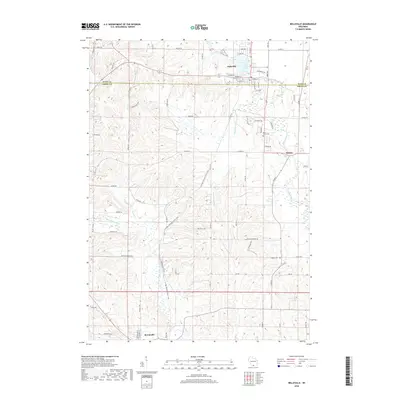
2018 Map of Belleville
USGS Topo · Published 2018About this map
Belleville anchors the landscape where the Sugar River widens into Lake Belle View, marking a transition between the organized village grid and the undulating agricultural lands of the Dane Co and Green Co border. The river system is a defining characteristic of this terrain, with the Little Sugar River winding through the southern portion of the quadrangle while smaller tributaries like Ross Crossing Cr and Silber School Br drain the surrounding hills.
Find a feature on this map
69 named features on this map. Tap any name to fly to it.
Don’t see what you’re looking for? This feature index may not catch every label — zoom into the map to look around manually.
Map Details
Editions of this 2018 Belleville Map
This is the sole edition of this map. No revisions or reprints were ever made.
Other maps of this area

1889 · Evansville
USGS Topo · 1:62,500

1893 · Brodhead
USGS Topo · 1:62,500

1894 · Evansville
USGS Topo · 1:62,500

1906 · Evansville
USGS Topo · 1:62,500

1920 · Monroe
USGS Topo · 1:62,500

1922 · Monroe
USGS Topo · 1:62,500

1923 · New Glarus
USGS Topo · 1:62,500

1954 · Rockford
USGS Topo · 1:250,000

1955 · Rockford
USGS Topo · 1:250,000

1958 · Rockford
USGS Topo · 1:250,000