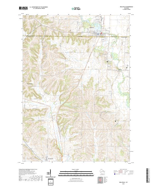
2022 Map of Belleville
USGS Topo · Published 2022About this map
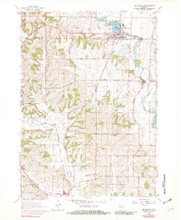
Belleville sits at the northern edge of this landscape, centered on the banks of the Sugar River near Lake Belle View. The terrain is defined by the winding paths of the river and the Little Sugar River, which cut through the hills of the Dane Co and Green Co border. The area preserves significant natural and recreational corridors, including the Ice Age National Scenic Trl and the Sugar River State Trl, which follow the valley floor. Small clusters of settlement at Dayton and the outskirts of New Glarus and Monticello reflect a rural agricultural pattern that has persisted for generations. Local history is anchored by several burial grounds, such as Belleville Cem and the Exeter Cem, which mark the early communities established along these waterways.
Find a feature on this map
47 named features on this map. Tap any name to fly to it.
Don’t see what you’re looking for? This feature index may not catch every label — zoom into the map to look around manually.
Map Details
Editions of this 2022 Belleville Map
This is the sole edition of this map. No revisions or reprints were ever made.