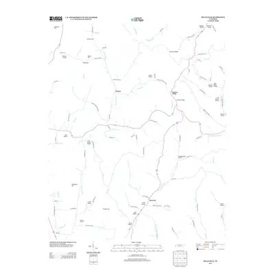
2013 Map of Belleville
USGS Topo · Published 2013About this map
The community of Belleville and the settlement at Bledsoe anchor this topographical study of Lincoln County, defined by a dense network of hollows and ridges. The land is intricately carved by water, with Norris Cr and the W Fork Mulberry Cr drawing drainage from numerous named family landmarks like Ashby Hollow, Patton Hollow, and Epps Hollow. This area represents a classic Tennessee highland landscape where habitation and transport have long followed the contours of the earth, as seen in the winding path of Three Hundred Dollar Rd and the narrow passage at The Narrows. Many of the names here, such as John Redd Hollow and Lige Warren Hollow, provide essential geographic markers for researchers tracing local lineage or early land use. Strategic gaps in the ridgelines, including Hannah Gap and Stamp Gap, show how early residents navigated the transition between the rolling hills and deep creek valleys.
Find a feature on this map
92 named features on this map. Tap any name to fly to it.
Don’t see what you’re looking for? This feature index may not catch every label — zoom into the map to look around manually.
Map Details
Editions of this 2013 Belleville Map
This is the sole edition of this map. No revisions or reprints were ever made.
Other maps of this area

1936 · Booneville
USGS Topo · 1:24,000

1936 · Shelbyville
USGS Topo · 1:24,000

1936 · Belfast
USGS Topo · 1:24,000

1936 · Belleville
USGS Topo · 1:24,000

1936 · Boonshill
USGS Topo · 1:24,000

1936 · Petersburg
USGS Topo · 1:24,000

1936 · Bedford
USGS Topo · 1:24,000

1936 · Mulberry
USGS Topo · 1:24,000

1936 · Fayetteville
USGS Topo · 1:24,000

1944 · Shelbyville
USGS Topo · 1:100,000