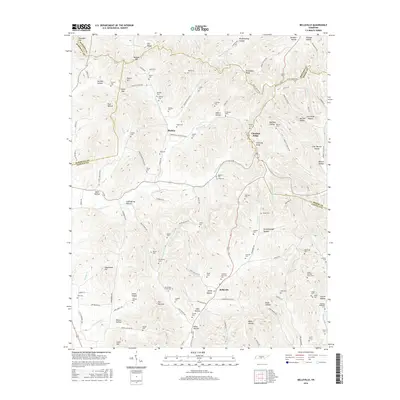
2016 Map of Belleville
USGS Topo · Published 2016About this map
Belleville and Bledsoe anchor this mid-2010s study of the varied ridge-and-hollow terrain where Marshall, Lincoln, Bedford, and Moore Counties meet. The landscape is defined by its numerous family burial grounds, including the Sorrells Cem, Harkins Cem, and Ferguson-Thornton Cem, which are scattered among the steep slopes of Chestnut Ridge and Richmond Ridge. These landmarks suggest a long-standing pattern of dispersed family settlements that utilize the narrow valley floors and sheltered hollows for homesteading.
Find a feature on this map
137 named features on this map. Tap any name to fly to it.
Don’t see what you’re looking for? This feature index may not catch every label — zoom into the map to look around manually.
Map Details
Editions of this 2016 Belleville Map
This is the sole edition of this map. No revisions or reprints were ever made.
Other maps of this area

1936 · Booneville
USGS Topo · 1:24,000

1936 · Shelbyville
USGS Topo · 1:24,000

1936 · Belfast
USGS Topo · 1:24,000

1936 · Belleville
USGS Topo · 1:24,000

1936 · Boonshill
USGS Topo · 1:24,000

1936 · Petersburg
USGS Topo · 1:24,000

1936 · Bedford
USGS Topo · 1:24,000

1936 · Mulberry
USGS Topo · 1:24,000

1936 · Fayetteville
USGS Topo · 1:24,000

1944 · Shelbyville
USGS Topo · 1:100,000