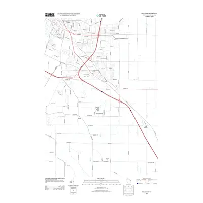
2013 Map of Bellevue
USGS Topo · Published 2013About this map
Fonferek Glen Natural Arch stands as a prominent geological landmark in this part of Brown County, situated south of the branching tributaries of Bower Cr. The map shows a transition from the urbanized streets of Preble in the north to the more agrarian landscapes further south. Small rural clusters and historical stopping points such as Kolb, Pine Grove, and Glenmore are clearly marked, alongside family-named landmarks like Pennings Farm.
Find a feature on this map
138 named features on this map. Tap any name to fly to it.
Don’t see what you’re looking for? This feature index may not catch every label — zoom into the map to look around manually.
Map Details
Editions of this 2013 Bellevue Map
This is the sole edition of this map. No revisions or reprints were ever made.
Other maps of this area

1954 · De Pere
USGS Topo · 1:62,500

1954 · Green Bay West
USGS Topo · 1:24,000

1954 · Denmark
USGS Topo · 1:62,500

1954 · De Pere
USGS Topo · 1:24,000

1954 · New Franken
USGS Topo · 1:62,500

1954 · Green Bay East
USGS Topo · 1:24,000

1954 · Manitowoc
USGS Topo · 1:250,000

1954 · Bellevue
USGS Topo · 1:24,000

1954 · Green Bay
USGS Topo · 1:62,500

1955 · Green Bay
USGS Topo · 1:250,000