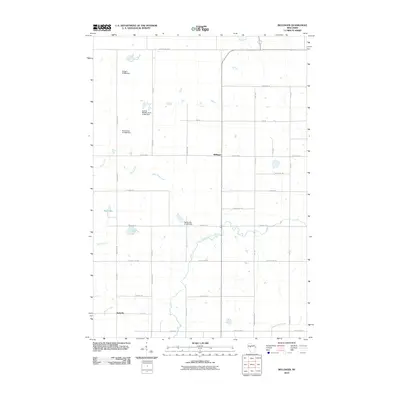
2010 Map of Bellinger
USGS Topo · Published 2010About this map
Bellinger and Eadsville anchor this rural landscape in Taylor County, where the topography is defined by a dense network of watercourses and small-scale water management features. The North Fork Eau Claire River winds through the central portion of the map, joined by tributaries like Otter Creek, Goggle-Eye Creek, and Roger Creek. This area is characterized by several named dams and associated impoundments, including the Euclide Wildlife Pond G1464 Dam, Propst G1976 Dam, and Raciborski G-5366 Dam, which reflect local land management and wildlife conservation efforts. The road system, following a strict grid of avenues and drives such as Meridian Dr and School Rd, illustrates the transition from the wilder wetlands of the Wolf River and Mud Lake to the agricultural and residential plots that comprise these small Wisconsin communities.
Find a feature on this map
40 named features on this map. Tap any name to fly to it.
Don’t see what you’re looking for? This feature index may not catch every label — zoom into the map to look around manually.
Map Details
Editions of this 2010 Bellinger Map
This is the sole edition of this map. No revisions or reprints were ever made.
Other maps of this area

1951 · Lublin
USGS Topo · 1:48,000

1951 · Gilman
USGS Topo · 1:62,500

1952 · Stanley
USGS Topo · 1:62,500

1953 · Owen
USGS Topo · 1:48,000

1953 · Eau Claire
USGS Topo · 1:250,000

1953 · Rice Lake
USGS Topo · 1:250,000

1958 · Eau Claire
USGS Topo · 1:250,000

1959 · Rice Lake
USGS Topo · 1:250,000

1963 · Owen
USGS Topo · 1:62,500

1964 · Eau Claire
USGS Topo · 1:250,000