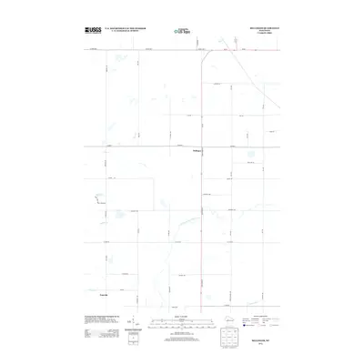
2013 Map of Bellinger
USGS Topo · Published 2013About this map
Bellinger and Eadsville anchor this rural landscape in Taylor County, where the transition between agricultural fields and wooded drainage basins is clearly defined. The hydrological network is the most prominent feature of this terrain, dominated by the winding course of the North Fork Eau Claire River and the Wolf River. These waterways, along with several smaller tributaries like Goggle-Eye Cr and Otter Cr, suggest a land shaped by glacial history and persistent wetlands. A grid of section roads, including many named for local families or landmarks such as Koser Ave and Tieman Ave, provides a window into the rural property divisions of the early 21st century. Mud Lake serves as a local landmark with its dedicated Mud Lake Public Access Rd, reflecting the area's use for recreation and conservation amidst the working landscape of central Wisconsin.
Find a feature on this map
41 named features on this map. Tap any name to fly to it.
Don’t see what you’re looking for? This feature index may not catch every label — zoom into the map to look around manually.
Map Details
Editions of this 2013 Bellinger Map
This is the sole edition of this map. No revisions or reprints were ever made.
Other maps of this area

1951 · Lublin
USGS Topo · 1:48,000

1951 · Gilman
USGS Topo · 1:62,500

1952 · Stanley
USGS Topo · 1:62,500

1953 · Owen
USGS Topo · 1:48,000

1953 · Eau Claire
USGS Topo · 1:250,000

1953 · Rice Lake
USGS Topo · 1:250,000

1958 · Eau Claire
USGS Topo · 1:250,000

1959 · Rice Lake
USGS Topo · 1:250,000

1963 · Owen
USGS Topo · 1:62,500

1964 · Eau Claire
USGS Topo · 1:250,000