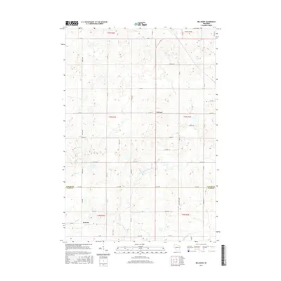
2015 Map of Bellinger
USGS Topo · Published 2015About this map
Bellinger and Eadsville sit within a landscape of intersecting waterways and agricultural plots along the border of Taylor and Clark Counties. The terrain is defined by the North Fork Eau Claire River and the Wolf River, which drain several smaller tributaries including Otter Cr, Roger Cr, and Goggle-Eye Cr. This 2015 edition captures the rural layout of the region, where a grid of local roads like Co Line Rd and Co Hwy F connects isolated farmsteads and small settlements. The area around Mud Lake and its namesake Mud Lake Dr illustrates the local reliance on the natural hydrography of central Wisconsin. Researchers will find a preserved view of the township and range system, showing how late-modern property boundaries align with the section lines of the Public Land Survey System.
Find a feature on this map
32 named features on this map. Tap any name to fly to it.
Don’t see what you’re looking for? This feature index may not catch every label — zoom into the map to look around manually.
Map Details
Editions of this 2015 Bellinger Map
This is the sole edition of this map. No revisions or reprints were ever made.
Other maps of this area

1951 · Lublin
USGS Topo · 1:48,000

1951 · Gilman
USGS Topo · 1:62,500

1952 · Stanley
USGS Topo · 1:62,500

1953 · Owen
USGS Topo · 1:48,000

1953 · Eau Claire
USGS Topo · 1:250,000

1953 · Rice Lake
USGS Topo · 1:250,000

1958 · Eau Claire
USGS Topo · 1:250,000

1959 · Rice Lake
USGS Topo · 1:250,000

1963 · Owen
USGS Topo · 1:62,500

1964 · Eau Claire
USGS Topo · 1:250,000