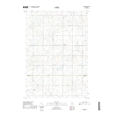
2018 Map of Bellinger
USGS Topo · Published 2018About this map
Bellinger and Eadsville are the primary focal points of this rural landscape, situated along the border of Taylor and Clark counties. The area is defined by its complex hydrography, featuring numerous small water bodies and creeks that feed into the larger North Fork Eau Claire River and the Wolf River. A significant portion of the map is dedicated to the preserved corridor of the Ice Age National Scenic Trail, which traverses the center of the sheet from east to west along Co Hwy F.
Find a feature on this map
28 named features on this map. Tap any name to fly to it.
Don’t see what you’re looking for? This feature index may not catch every label — zoom into the map to look around manually.
Map Details
Editions of this 2018 Bellinger Map
This is the sole edition of this map. No revisions or reprints were ever made.
Other maps of this area

1951 · Lublin
USGS Topo · 1:48,000

1951 · Gilman
USGS Topo · 1:62,500

1952 · Stanley
USGS Topo · 1:62,500

1953 · Owen
USGS Topo · 1:48,000

1953 · Eau Claire
USGS Topo · 1:250,000

1953 · Rice Lake
USGS Topo · 1:250,000

1958 · Eau Claire
USGS Topo · 1:250,000

1959 · Rice Lake
USGS Topo · 1:250,000

1963 · Owen
USGS Topo · 1:62,500

1964 · Eau Claire
USGS Topo · 1:250,000