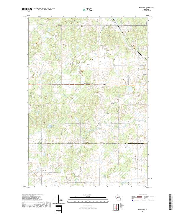
2022 Map of Bellinger
USGS Topo · Published 2022About this map
The unincorporated settlement of Bellinger serves as a quiet central point in this landscape where Taylor and Clark counties meet. This modern survey illustrates a topography defined by glacial legacy, most notably through the presence of the Ice Age National Scenic Trl which traverses the terrain from east to west. The drainage patterns are complex, featuring the meandering North Fork Eau Claire River and several smaller waterways such as Otter Cr and Wolf River.
Find a feature on this map
42 named features on this map. Tap any name to fly to it.
Don’t see what you’re looking for? This feature index may not catch every label — zoom into the map to look around manually.
Map Details
Editions of this 2022 Bellinger Map
This is the sole edition of this map. No revisions or reprints were ever made.
Other maps of this area

1951 · Lublin
USGS Topo · 1:48,000

1951 · Gilman
USGS Topo · 1:62,500

1952 · Stanley
USGS Topo · 1:62,500

1953 · Owen
USGS Topo · 1:48,000

1953 · Eau Claire
USGS Topo · 1:250,000

1953 · Rice Lake
USGS Topo · 1:250,000

1958 · Eau Claire
USGS Topo · 1:250,000

1959 · Rice Lake
USGS Topo · 1:250,000

1963 · Owen
USGS Topo · 1:62,500

1964 · Eau Claire
USGS Topo · 1:250,000