
1958 Map of Bellwood
USGS Topo · Published 1959About this map
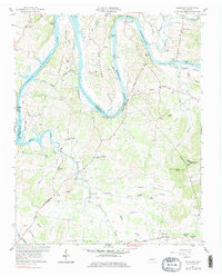
Cumberland River oxbows dominate this landscape, creating the deep loops of Beasleys Bend and Puryears Bend before the waters reach Old Hickory Lake. The 1958 field check captures the area during a period of transition, noting the U.S. Reservation boundaries and the Coleman-Winston Memorial Bridge crossing near Hartsville Island. Small settlements and family landmarks are scattered throughout the hills, from Centerville and Taylorsville to the south, up toward Barthelia in the northwest.
Find a feature on this map
64 named features on this map. Tap any name to fly to it.
Don’t see what you’re looking for? This feature index may not catch every label — zoom into the map to look around manually.
Map Details
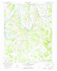
Editions of this 1958 Bellwood Map
3 editions found
Other maps of this area

1942 · Statesville
USGS Topo · 1:100,000

1942 · Gallatin
USGS Topo · 1:100,000

1942 · Lebanon
USGS Topo · 1:100,000

1951 · Lebanon
USGS Topo · 1:24,000

1955 · Bethpage
USGS Topo · 1:24,000

1955 · Hunters Point
USGS Topo · 1:24,000

1956 · Nashville
USGS Topo · 1:250,000

1958 · New Middleton
USGS Topo · 1:24,000

1958 · Dixon Springs
USGS Topo · 1:24,000
1958 · Shop Springs
USGS Topo · 1:24,000