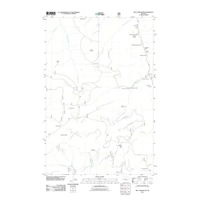
2011 Map of Belt Park Butte
USGS Topo · Published 2011About this map
Johannesburg Gulch NW SW Section 7 Mine and the Important Mill Mine anchor a landscape defined by its deep mining heritage in this portion of the Little Belt Mountains. The industrial character of the era is evident in the cluster of extraction sites along the eastern edge, including the Galt Mine, O'Brian Mine, and the 89 Millsite. These operations are closely tied to the social history of the region, marked by the Miners Union Cemetery and Neihart Cemetery near Graveyard Gulch.
Find a feature on this map
38 named features on this map. Tap any name to fly to it.
Don’t see what you’re looking for? This feature index may not catch every label — zoom into the map to look around manually.
Map Details
Editions of this 2011 Belt Park Butte Map
This is the sole edition of this map. No revisions or reprints were ever made.
Other maps of this area

1886 · Little Belt Mts.
USGS Topo · 1:250,000

1890 · Fort Benton
USGS Topo · 1:250,000

1892 · Fort Benton
USGS Topo · 1:250,000

1894 · Little Belt Mts.
USGS Topo · 1:250,000

1897 · Fort Benton
USGS Topo · 1:250,000

1897 · Little Belt Mts.
USGS Topo · 1:250,000

1898 · Little Belt Mts.
USGS Topo · 1:250,000

1902 · Little Belt Mts.
USGS Topo · 1:250,000

1948 · White Sulphur Springs
USGS Topo · 1:250,000

1954 · Great Falls
USGS Topo · 1:250,000