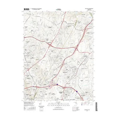
2016 Map of Beltsville
USGS Topo · Published 2016About this map
The Montgomery and Prince George’s county line bisects a densely developed suburban corridor where major transportation arteries like Columbia Pike and the Interstate system converge. This 2016 survey highlights the transition from established residential communities like Fairland and Beltsville to industrial and institutional pockets, including the Tesst College of Technology and the National Labor College.
Find a feature on this map
362 named features on this map. Tap any name to fly to it.
Don’t see what you’re looking for? This feature index may not catch every label — zoom into the map to look around manually.
Map Details
Editions of this 2016 Beltsville Map
This is the sole edition of this map. No revisions or reprints were ever made.
Other maps of this area

1890 · Mt. Vernon
USGS Topo · 1:125,000

1891 · Mt. Vernon
USGS Topo · 1:125,000

1892 · Laurel
USGS Topo · 1:62,500

1893 · Frederick
USGS Topo · 1:125,000

1894 · Laurel
USGS Topo · 1:62,500

1894 · Frederick
USGS Topo · 1:125,000

1894 · Mt. Vernon
USGS Topo · 1:125,000

1897 · Laurel
USGS Topo · 1:62,500

1897 · Mt. Vernon
USGS Topo · 1:125,000

1899 · Patuxent
USGS Topo · 1:125,000