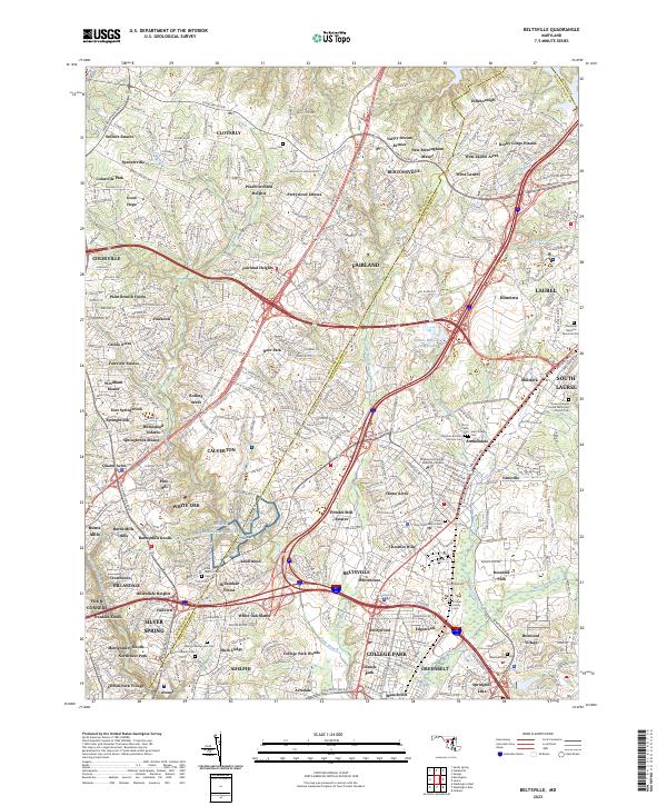
2023 Map of Beltsville
USGS Topo · Published 2023About this map
The Adelphi Laboratory Center and the extensive grounds of George Washington Cem anchor this heavily developed Maryland corridor between the suburbs of Silver Spring and Beltsville. The landscape is a complex patchwork of residential estates and institutional land use, where major arteries like New Hampshire Ave and Columbia Pike cut through historic communities such as Burnt Mills and Colesville.
Find a feature on this map
114 named features on this map. Tap any name to fly to it.
Don’t see what you’re looking for? This feature index may not catch every label — zoom into the map to look around manually.
Map Details
Editions of this 2023 Beltsville Map
This is the sole edition of this map. No revisions or reprints were ever made.
Other maps of this area

1890 · Mt. Vernon
USGS Topo · 1:125,000

1891 · Mt. Vernon
USGS Topo · 1:125,000

1892 · Laurel
USGS Topo · 1:62,500

1893 · Frederick
USGS Topo · 1:125,000

1894 · Laurel
USGS Topo · 1:62,500

1894 · Frederick
USGS Topo · 1:125,000

1894 · Mt. Vernon
USGS Topo · 1:125,000

1897 · Laurel
USGS Topo · 1:62,500

1897 · Mt. Vernon
USGS Topo · 1:125,000

1899 · Patuxent
USGS Topo · 1:125,000