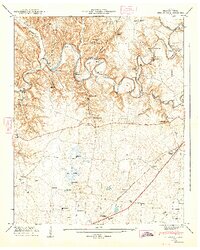
1947 Map of Belvidere
USGS Topo · Published 1948About this map
The Elk River winds through this 1947 landscape, creating dramatic loops such as Maple Bend and Acklin Bend before the river's path was significantly altered by later reservoir projects. This survey captures a rural Tennessee economy still oriented toward its waterways and rails, evidenced by the numerous crossings like Willis Lake Bridge, Lee Ford Bridge, and Eastbrook Ford. The industrial footprint is localized at the Owl Hollow Mill, while recreation appears at Camp Elklore and Riva Lake Camp.
Find a feature on this map
66 named features on this map. Tap any name to fly to it.
Don’t see what you’re looking for? This feature index may not catch every label — zoom into the map to look around manually.
Map Details
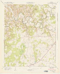
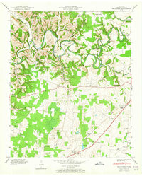
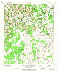
Editions of this 1947 Belvidere Map
4 editions found
Other maps of this area

1928 · Decherd
USGS Topo · 1:62,500

1936 · Cumberland Springs
USGS Topo · 1:24,000

1936 · Beans Creek
USGS Topo · 1:24,000

1936 · Winchester
USGS Topo · 1:24,000

1936 · Huntland
USGS Topo · 1:24,000

1936 · Belvidere
USGS Topo · 1:24,000

1936 · Pitcher Ridge
USGS Topo · 1:24,000

1936 · Camp Peay
USGS Topo · 1:24,000

1936 · Capitol Hill
USGS Topo · 1:24,000

1936 · Lois
USGS Topo · 1:24,000