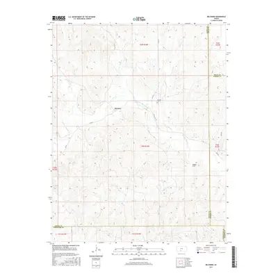
2015 Map of Belvidere
USGS Topo · Published 2015About this map
Belvidere sits at a crossroads of prairie drainage systems in south-central Kansas, situated where Soldier Cr meets the Medicine Lodge River. This 2015 U.S. Geological Survey representation shows a landscape defined by its riparian corridors and the grid of county roads that navigate the varying elevations. The settlement pattern is sparse, centered on the historic townsite and the nearby Belvidere Cem, which serves as a primary point of interest for genealogists and local historians. The map documents the convergence of four counties—Kiowa, Pratt, Barber, and Comanche—illustrating how these political boundaries follow both the section lines of the Public Land Survey System and the natural meandering of the river. Numerous intermittent waterways such as Thompson Cr, Spring Cr, and Walker Draw highlight the complex drainage basin that feeds into the Medicine Lodge valley.
Find a feature on this map
28 named features on this map. Tap any name to fly to it.
Don’t see what you’re looking for? This feature index may not catch every label — zoom into the map to look around manually.
Map Details
Editions of this 2015 Belvidere Map
This is the sole edition of this map. No revisions or reprints were ever made.
Other maps of this area

1889 · Kinsley
USGS Topo · 1:125,000

1891 · Medicine Lodge
USGS Topo · 1:125,000

1892 · Kinsley
USGS Topo · 1:125,000

1892 · Coldwater
USGS Topo · 1:125,000

1892 · Pratt
USGS Topo · 1:125,000

1893 · Medicine Lodge
USGS Topo · 1:125,000

1894 · Kinsley
USGS Topo · 1:125,000

1894 · Pratt
USGS Topo · 1:125,000

1955 · Pratt
USGS Topo · 1:250,000

1959 · Pratt
USGS Topo · 1:250,000