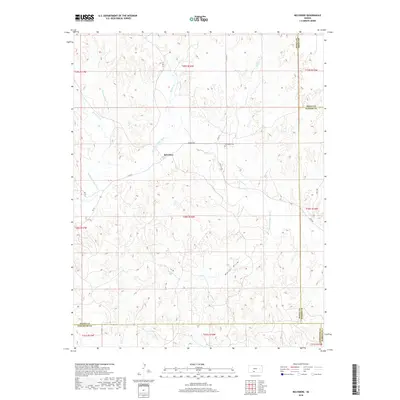
2018 Map of Belvidere
USGS Topo · Published 2018About this map
Belvidere sits at the confluence of several vital watercourses in the high plains of southern Kansas, where the Medicine Lodge River meets tributaries like Thompson Cr, Spring Cr, and Soldier Cr. This 2018 survey reveals a landscape defined by its riparian drainage patterns, such as Walker Draw and Thompson Br, which carve through the surrounding tablelands. The small settlement is connected to the wider region by a network of rural routes including Wilmore Rd and Sun City Rd. For genealogists, the Belvidere Cem east of the main townsite serves as a primary point of local historical interest. The map also documents the convergence of four counties—Kiowa, Pratt, Barber, and Comanche—illustrating how administrative boundaries were drawn across this specific terrain.
Find a feature on this map
28 named features on this map. Tap any name to fly to it.
Don’t see what you’re looking for? This feature index may not catch every label — zoom into the map to look around manually.
Map Details
Editions of this 2018 Belvidere Map
This is the sole edition of this map. No revisions or reprints were ever made.
Other maps of this area

1889 · Kinsley
USGS Topo · 1:125,000

1891 · Medicine Lodge
USGS Topo · 1:125,000

1892 · Kinsley
USGS Topo · 1:125,000

1892 · Coldwater
USGS Topo · 1:125,000

1892 · Pratt
USGS Topo · 1:125,000

1893 · Medicine Lodge
USGS Topo · 1:125,000

1894 · Kinsley
USGS Topo · 1:125,000

1894 · Pratt
USGS Topo · 1:125,000

1955 · Pratt
USGS Topo · 1:250,000

1959 · Pratt
USGS Topo · 1:250,000