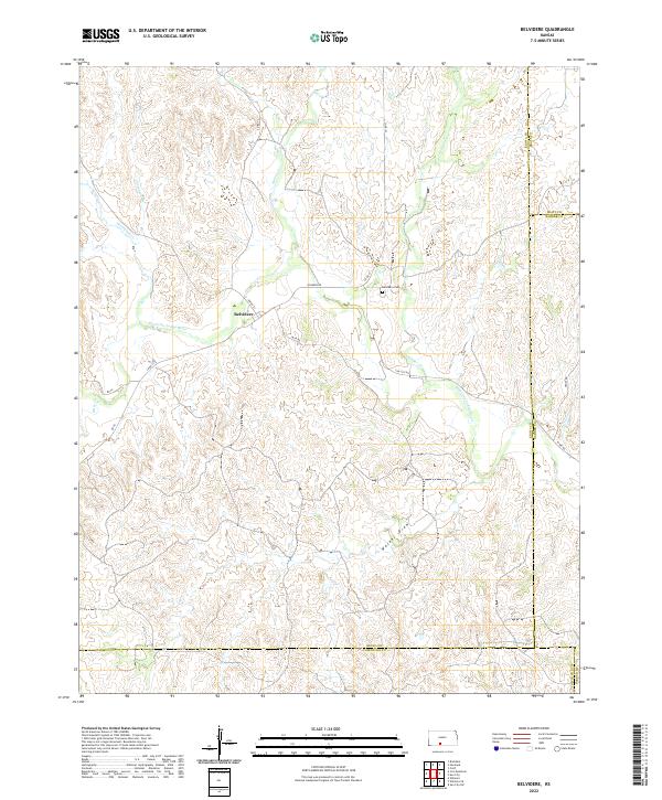
2022 Map of Belvidere
USGS Topo · Published 2022About this map
Belvidere sits at the junction of several critical watercourses and local roads in south-central Kansas. The settlement is positioned where N High St and Wilmore Rd meet, serving as a focal point for the surrounding ranching and agricultural landscape. The hydrology of the area is particularly complex, defined by the winding path of the Medicine Lodge River as it receives drainage from northern tributaries like Spring Creek and Soldier Creek. This 2022 survey captures the modern rural infrastructure of the region, where a network of county roads such as Sun City Rd and 76th Rd provides access to remote sections of the plains. For genealogists, the Belvidere Cemetery remains a key historical landmark, located just northeast of the town center. The map also delineates the meeting point of four counties — Kiowa, Pratt, Barber, and Comanche — highlighting the town's position as a cross-county hub.
Find a feature on this map
32 named features on this map. Tap any name to fly to it.
Don’t see what you’re looking for? This feature index may not catch every label — zoom into the map to look around manually.
Map Details
Editions of this 2022 Belvidere Map
This is the sole edition of this map. No revisions or reprints were ever made.
Other maps of this area

1889 · Kinsley
USGS Topo · 1:125,000

1891 · Medicine Lodge
USGS Topo · 1:125,000

1892 · Kinsley
USGS Topo · 1:125,000

1892 · Coldwater
USGS Topo · 1:125,000

1892 · Pratt
USGS Topo · 1:125,000

1893 · Medicine Lodge
USGS Topo · 1:125,000

1894 · Kinsley
USGS Topo · 1:125,000

1894 · Pratt
USGS Topo · 1:125,000

1955 · Pratt
USGS Topo · 1:250,000

1959 · Pratt
USGS Topo · 1:250,000