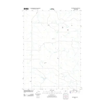
2012 Map of Belvidere NW
USGS Topo · Published 2012About this map
Johnson Hill and Wolf Hill rise above a landscape defined by seasonal drainages and cattle country in this Jackson County survey. The area is characterized by high ground such as the Raiders Hills and Round Hill, interspersed with natural basins like Sandstone Flat. Water management in this arid stretch of South Dakota is visible through the dendritic patterns of South Cr, Dry Cr, and Little Negro Cr, which carve out significant features like Big Negro Draw and Dead Horse Draw. Transportation in the early 21st century relied on a grid of rural routes including Powell RD and Co RD 4, providing access to the high points of Crawford Hill and the surrounding rangeland. This USGS data provides a modern record of the landforms and essential roadway network in the northwestern vicinity of Belvidere.
Find a feature on this map
17 named features on this map. Tap any name to fly to it.
Don’t see what you’re looking for? This feature index may not catch every label — zoom into the map to look around manually.
Map Details
Editions of this 2012 Belvidere NW Map
This is the sole edition of this map. No revisions or reprints were ever made.
Other maps of this area

1951 · Belvidere
USGS Topo · 1:24,000

1951 · Kadoka
USGS Topo · 1:24,000

1951 · Belvidere SW
USGS Topo · 1:24,000

1953 · Belvidere NE
USGS Topo · 1:24,000

1953 · Philip SE
USGS Topo · 1:24,000

1954 · Belvidere NW
USGS Topo · 1:24,000

1954 · Kadoka NE
USGS Topo · 1:24,000

1954 · Powell
USGS Topo · 1:24,000

1954 · Nowlin
USGS Topo · 1:24,000

1954 · Pierre
USGS Topo · 1:250,000