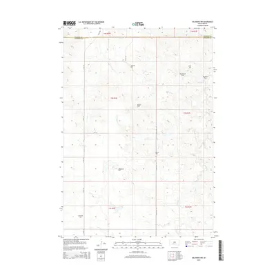
2015 Map of Belvidere NW
USGS Topo · Published 2015About this map
Sandstone Flat and the surrounding high plains define the topography of this corner of South Dakota, where the Haakon Co Jackson Co line marks the northern boundary of the survey. The landscape is carved by a network of drainage channels, including the winding Little Negro Cr and Indian Cr, which cut through the open rangeland. Named high points like Johnson Hill, Wolf Hill, and the Raiders Hills provide rare verticality in a region dominated by wide basins and erosion-carved features.
Find a feature on this map
24 named features on this map. Tap any name to fly to it.
Don’t see what you’re looking for? This feature index may not catch every label — zoom into the map to look around manually.
Map Details
Editions of this 2015 Belvidere NW Map
This is the sole edition of this map. No revisions or reprints were ever made.
Other maps of this area

1951 · Belvidere
USGS Topo · 1:24,000

1951 · Kadoka
USGS Topo · 1:24,000

1951 · Belvidere SW
USGS Topo · 1:24,000

1953 · Belvidere NE
USGS Topo · 1:24,000

1953 · Philip SE
USGS Topo · 1:24,000

1954 · Belvidere NW
USGS Topo · 1:24,000

1954 · Kadoka NE
USGS Topo · 1:24,000

1954 · Powell
USGS Topo · 1:24,000

1954 · Nowlin
USGS Topo · 1:24,000

1954 · Pierre
USGS Topo · 1:250,000