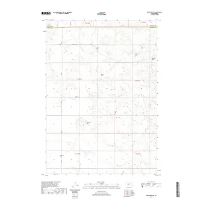
2017 Map of Belvidere NW
USGS Topo · Published 2017About this map
South Creek Cem sits as a lonely landmark in this high plains landscape of western South Dakota, marking the boundary between Haakon and Jackson counties. The terrain is defined by a network of drainage systems including Indian Cr, Dry Cr, and Little Negro Cr, which carve through the prairie to form prominent features like Dead Horse Draw and Big Negro Draw. These waterways provide a stark contrast to the elevated plateaus and summits that dominate the horizon.
Find a feature on this map
25 named features on this map. Tap any name to fly to it.
Don’t see what you’re looking for? This feature index may not catch every label — zoom into the map to look around manually.
Map Details
Editions of this 2017 Belvidere NW Map
This is the sole edition of this map. No revisions or reprints were ever made.
Other maps of this area

1951 · Belvidere
USGS Topo · 1:24,000

1951 · Kadoka
USGS Topo · 1:24,000

1951 · Belvidere SW
USGS Topo · 1:24,000

1953 · Belvidere NE
USGS Topo · 1:24,000

1953 · Philip SE
USGS Topo · 1:24,000

1954 · Belvidere NW
USGS Topo · 1:24,000

1954 · Kadoka NE
USGS Topo · 1:24,000

1954 · Powell
USGS Topo · 1:24,000

1954 · Nowlin
USGS Topo · 1:24,000

1954 · Pierre
USGS Topo · 1:250,000