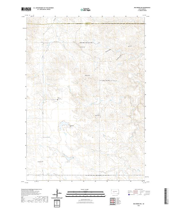
2021 Map of Belvidere NW
USGS Topo · Published 2021About this map
South Creek Cem rests in a high basin of the South Dakota prairie, serving as a solitary genealogical landmark in this open ranching landscape at the Jackson and Haakon county line. The terrain is defined by a series of prominent rises including Johnson Hill, Wolf Hill, and the Raiders Hills, which overlook a network of seasonal drainages. These intermittent watercourses, such as Big Negro Draw, Dead Horse Draw, and Dry Cr, carve through the landscape towards Indian Cr and South Cr. Transportation in the region relies on a grid of rural routes like Co Rd 4, Indian Creek Rd, and Powell Rd. The expansive Sandstone Flat provides a rare stretch of level ground amidst the broken topography of the surrounding hills and draws.
Find a feature on this map
25 named features on this map. Tap any name to fly to it.
Don’t see what you’re looking for? This feature index may not catch every label — zoom into the map to look around manually.
Map Details
Editions of this 2021 Belvidere NW Map
This is the sole edition of this map. No revisions or reprints were ever made.
Other maps of this area

1951 · Belvidere
USGS Topo · 1:24,000

1951 · Kadoka
USGS Topo · 1:24,000

1951 · Belvidere SW
USGS Topo · 1:24,000

1953 · Belvidere NE
USGS Topo · 1:24,000

1953 · Philip SE
USGS Topo · 1:24,000

1954 · Belvidere NW
USGS Topo · 1:24,000

1954 · Kadoka NE
USGS Topo · 1:24,000

1954 · Powell
USGS Topo · 1:24,000

1954 · Nowlin
USGS Topo · 1:24,000

1954 · Pierre
USGS Topo · 1:250,000