
1958 Map of Bemidji
USGS Topo · Published 1958About this map
Lake Bemidji and the upper reaches of the Mississippi River serve as the focal point for this mid-century survey of North-Central Minnesota. The landscape is defined by its massive water bodies and significant tribal lands, including the Red Lake Indian Reservation bordering Lower Red Lake and the White Earth Indian Reservation to the west. The distribution of settlements like Bemidji, Walker, and Cass Lake reflects the region's reliance on both the water network and the overlapping rail lines of the Great Northern, Northern Pacific, and Soo Line.
Find a feature on this map
131 named features on this map. Tap any name to fly to it.
Don’t see what you’re looking for? This feature index may not catch every label — zoom into the map to look around manually.
Map Details
Editions of this 1958 Bemidji Map
This is the sole edition of this map. No revisions or reprints were ever made.
Other maps of this area
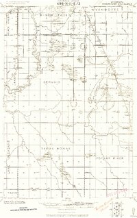
1918 · Terrebonne
USGS Topo · 1:62,500
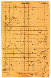
1918 · Flom
USGS Topo · 1:62,500
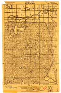
1918 · Jelle
USGS Topo · 1:62,500
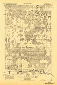
1918 · Zora
USGS Topo · 1:62,500
1919 · Fosston
USGS Topo · 1:62,500
1919 · Rosy
USGS Topo · 1:62,500
1919 · Grit
USGS Topo · 1:62,500
1919 · Zora
USGS Topo · 1:62,500
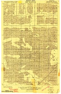
1919 · Lundgren
USGS Topo · 1:62,500
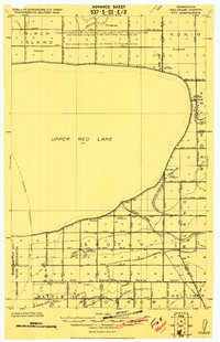
1919 · Fox
USGS Topo · 1:62,500