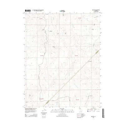
2015 Map of Ben Hur
USGS Topo · Published 2015About this map
Ben Hur serves as a central point in this transition zone between the foothills of the Sierra Nevada and the waters of the Chowchilla River. The landscape is defined by its drainage patterns, with Becknell Cr, Chapman Cr, and Split-Rock Cr winding through the terrain toward the southern boundary. At the lower edge of the map, the headwaters of H V Eastman Lake emerge, reflecting the mid-20th-century development of water management in the region.
Find a feature on this map
36 named features on this map. Tap any name to fly to it.
Don’t see what you’re looking for? This feature index may not catch every label — zoom into the map to look around manually.
Map Details
Editions of this 2015 Ben Hur Map
This is the sole edition of this map. No revisions or reprints were ever made.
Other maps of this area

1912 · Mariposa
USGS Topo · 1:125,000

1919 · Indian Gulch
USGS Topo · 1:48,000

1919 · Raynor Creek
USGS Topo · 1:31,680

1920 · Indian Gulch
USGS Topo · 1:62,500

1942 · Raymond
USGS Topo · 1:62,500

1944 · Raymond
USGS Topo · 1:62,500
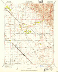
1946 · Le Grand
USGS Topo · 1:62,500
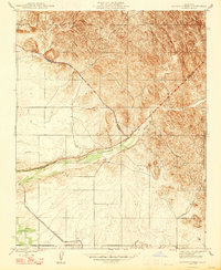
1947 · Raynor Creek
USGS Topo · 1:24,000

1947 · Mariposa
USGS Topo · 1:24,000

1947 · San Jose
USGS Topo · 1:250,000